
Enterprise-Ready Data Models for Agriculture
Built on years of field level data, Corvian has developed one of agriculture’s most comprehensive collections of data models.
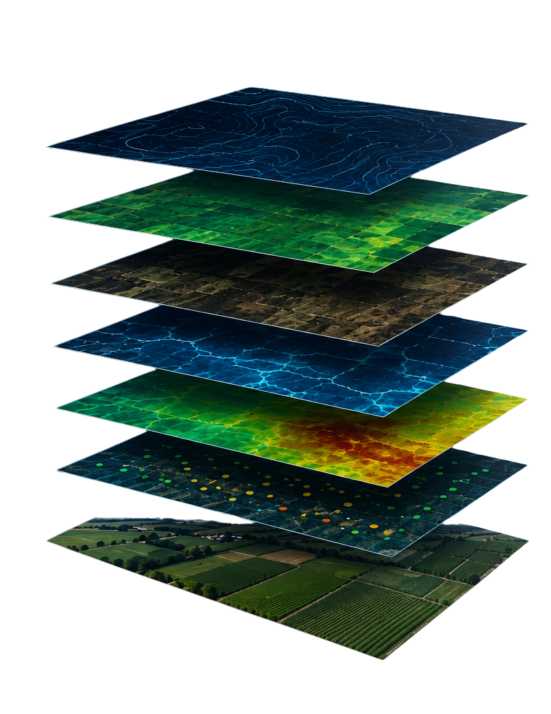
BUILT FOR SCALE
Enterprise-ready infrastructure built to support the world’s largest agricultural organizations.
LAYERED BY DESIGN
Every dataset is connected to create a single, trusted source of truth across the agricultural value chain.
SPATIALLY INTELLIGENT, VERIFIED DATA MODELS
Purpose-built geospatial models that organize, connect, and contextualize complex agricultural data, delivering the accurate intelligence enterprises need for analytics, AI, risk management, and faster decision-making.

The most accurate data models in agriculture
Built from ground-level, scaled for enterprise application.
For more than 20 years, Corvian has built, tested, and refined its data models using millions of acres of real-world agricultural operations, field observations, and ground-truthed production outcomes. The result is one of agriculture’s most advanced data foundations for enterprise AI, analytics, and intelligent automation.
CORVIAN’S DATA MODELS
Seven core models.
Infinite context for our clients.
FIELD RECORDS
Creates a standardized digital foundation for every grower, farm, and field, enabling all operational, agronomic, and sustainability data to be connected to a single source of truth.
CROPS
Tracks what is planted, where, and when, creating a complete record of crop history, varieties, rotations, and seasonal production across every field.
FIELD OPERATIONS
Records every field activity—from planting to application—creating a verified operational record of products, equipment, timing, and agronomic practices.
SCOUTING
Transforms field observations into structured intelligence by recording crop health, issues, severity, and recommended actions throughout the growing season.
HARVEST
Consolidates harvest and yield data into a standardized production record, enabling performance analysis, benchmarking, and historical comparisons.
EQUIPMENT
Connects machinery, implements, and telematics into a unified operational dataset, providing visibility into equipment utilization and field execution.
SPATIAL IMAGERY
Integrates satellite, aerial, and machine-derived imagery into geospatial intelligence, enabling change detection, field monitoring, and spatial analysis over time.
ENTERPRISE APPLICATIONS
Our data models
inform critical decisions across
the ag eco-system
Financial Services
- Assess field-level portfolio risk
- Validate production history
- Monitor in-season loan performance
- Benchmark agricultural portfolio
Insurance
- Assess production risk
- Verify claims with historical field data
- Monitor crop and weather conditions
- Strengthen underwriting decisions
Consumer Packaged Goods
- Verify sustainable sourcing
- Track Scope 3 emissions
- Monitor regional production trends
- Improve procurement decisions
Farmland Managers + Owners
- Monitor portfolio performance
- Benchmark assets across regions
- Identify production risks
- Support acquisition decisions
Fuel + Energy
- Verify feedstock eligibility
- Standardize carbon intensity data
- Validate field management practices
- Support 45Z tax credit compliance
Government + Conservation
- Monitor land-use change
- Validate conservation practices
- Measure program outcomes
- Support regional reporting
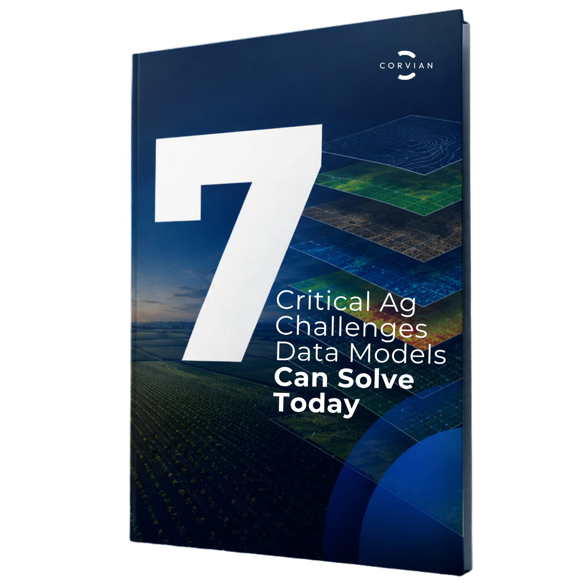
EXECUTIVE BRIEF
What ag challenges can data models really solve?
Get a free copy of our executive brief to discover how connected field-level data is helping organizations reduce risk, improve visibility, strengthen sourcing decisions, while establishing a trusted foundation for enterprise intelligence.
WHY CORVIAN?
A trusted data partner
for ag stakeholders
Corvian has spent more than two decades working at ground-level collecting, connecting, and standardizing agricultural data to build one of the industry’s most comprehensive intelligence platforms. Our data models connect disconnected agricultural data into a single source of truth that helps organizations predict outcomes, improve visibility and reduce risk.
Years of Experience
AgTech Patents
Acres of Data Processed
%
