
Client Work
Field data.
Real enterprise applications.
See how Corvian enables organizations to connect agricultural data to traceability, carbon intensity, crop insurance and grower programs.
Different enterprise challenges. One data foundation.
Explore four projects that bring field-level intelligence into enterprise workflows.
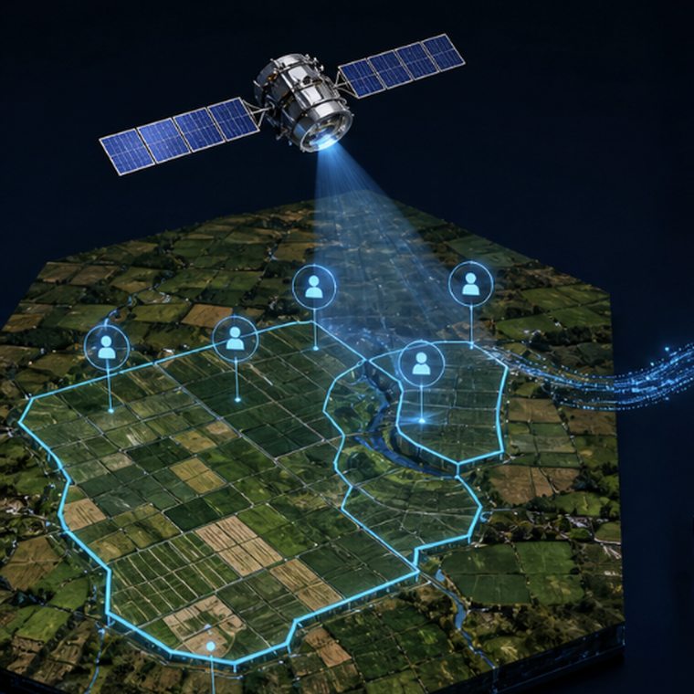
Mapping soybean production for a Canadian grain company
Satellite imagery, crop classification and validated field boundaries create a more consistent foundation for traceability and compliance work.
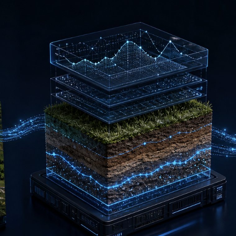
Bringing field-level data into carbon intensity scoring
An Ontario corn pilot connected farm records through FarmCommand to evaluate carbon intensity at the field level, reflecting differences in farm practices.
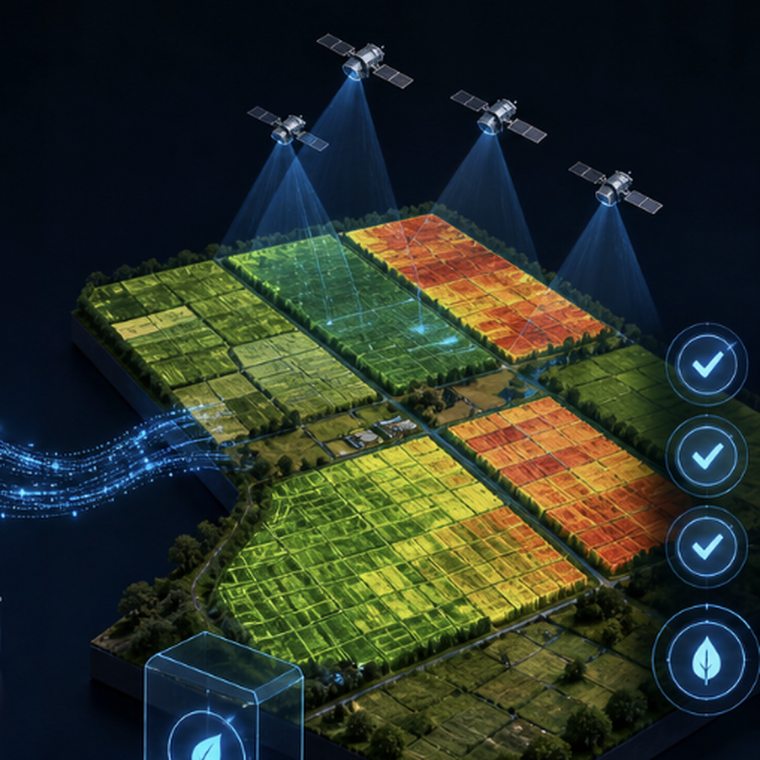
Connecting crop and weather intelligence for SMHI
Remote sensing, crop growth stages and weather data support more consistent adjusting insights within SMHI’s insurance workflows.
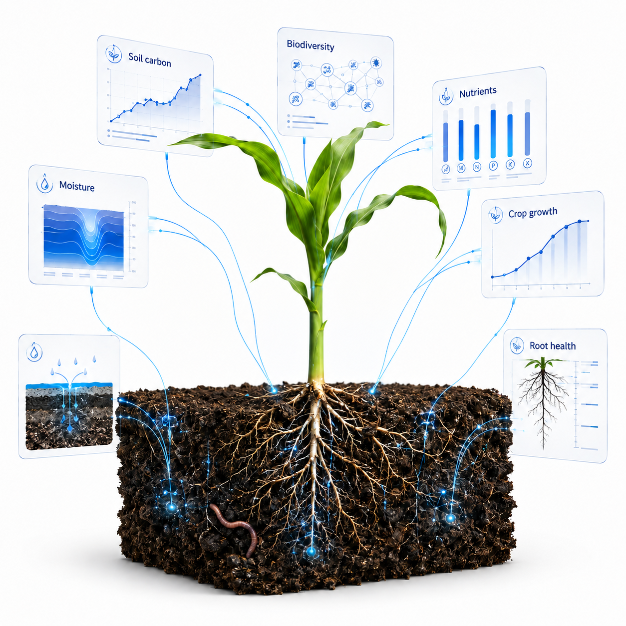
Launching a connected grower program with National Sorghum Producers
Customized FarmCommand workflows, training and managed support helped producers participate and provided the field data needed for carbon intensity datasets.
What these projects have in common
Agricultural expertise. A proven system. Faster execution.
These organizations came to Corvian for our agricultural expertise and access to field-level data. Our established technology, reusable models and delivery workflows helped us execute quickly across different enterprise challenges.
Ready to move quickly.
Proven tools, established workflows and experienced teams give each project a running start. We adapt an existing system to your requirements, helping move from a defined challenge to implementation faster.
Rooted in agriculture.
Agricultural expertise and access to farm, satellite, weather and agronomic data help us understand the challenge, select the right information and put it to work in your program.
One foundation. Multiple uses.
The same field-data foundation and reusable models can support traceability, carbon intensity, insurance and grower programs—with workflows configured for each organization’s objectives.
What could your field data make possible?
Bring us your challenge. We’ll help connect the data, technology and support your program needs.
