
See the risk in the field. Act across the portfolio.
Corvian connects field boundaries, crop development, weather and historical records to the decisions insurers and lenders make every season—from portfolio monitoring and claims assessment to field-ready adjusting.
Insurance decisions need more than a map of the field.
You need to know what was planted, how the crop developed, what happened when weather hit and which fields deserve attention.
Corvian brings those records together across fields and seasons. We deliver the underlying data, models, applications and integration to help teams monitor exposure, assess events and work from a consistent view of the land.
Three ways to put field intelligence to work.
Start with the decision your team needs to improve. Each solution can connect to existing insurance and lending systems.

Portfolio Risk Intelligence
Understand historical land use, verify crops, monitor development and surface anomalies across financed or insured acreage.
Explore portfolio risk intelligence ↗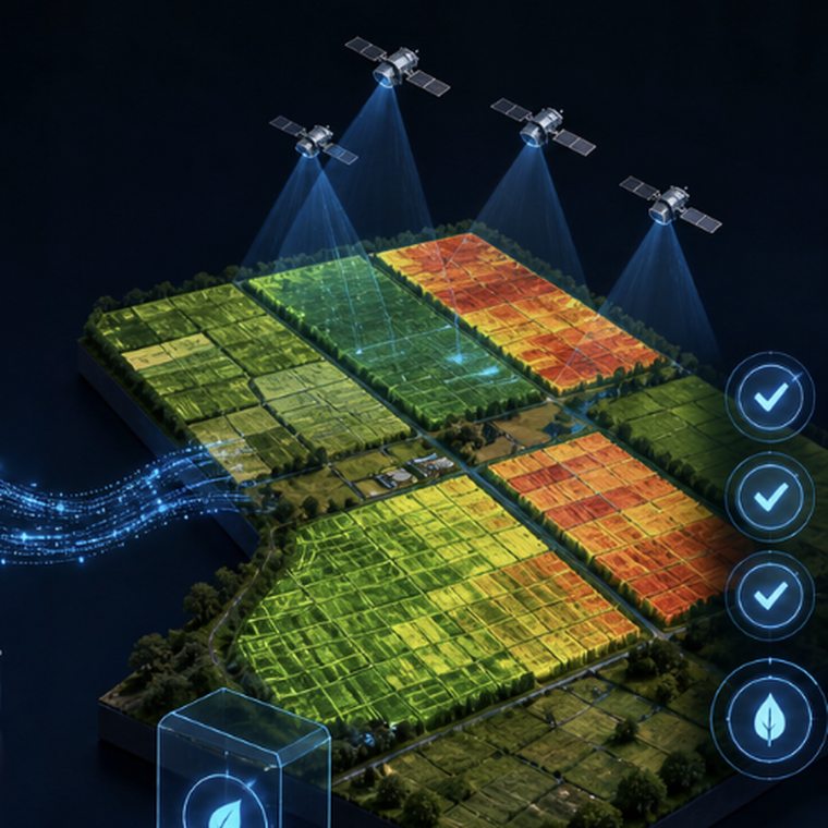
Claims Intelligence
Connect weather events, field boundaries and crop growth stages to support evidence-led triage and more consistent claims assessment.
Explore claims intelligence ↗
Digital Adjusting
Give adjusters mobile workflows, field information and a connection back to office systems, including support when working offline.
Explore digital adjusting ↗What this looks like with clients.
Two uses of the same field-to-enterprise foundation: crop hail insurance in Canada and agricultural credit monitoring in Brazil.
Identify crop stage when hail damage occurs.
With Saskatchewan Municipal Hail Insurance, Corvian combined remote sensing crop-stage models, daily weather and hail data, and field boundary overlays to support claims assessment.
- A pilot supported adjusting insights on 4.6 million acres of canola.
- Growth-stage analysis helped assess flowering dates relevant to hail claims.
- Established data infrastructure connected the work to SMHI operations.

Monitor financed acreage from planting through harvest.
Corvian and Sicredi entered an agreement for the 2026–2027 crop season to bring field monitoring and risk intelligence across millions of hectares of financed agricultural land.
- Field-level visibility across a significant agricultural credit portfolio.
- Monitoring designed to detect crop variance, unplanted acreage and missed planting windows.
- Automated outputs designed for regulatory and operational use.
From field boundary to a decision your team can use.
We configure the data and workflow around your portfolio and the systems your team already uses.
Start with the decision
Identify the use case and the evidence required.
Bring sources together
Connect boundaries, crop history, remote sensing, weather and available operational records.
Surface what matters
Apply models and quality checks to highlight exposure, events and fields needing review.
Fit your workflow
Deliver outputs, integrations and applications for portfolio teams and field staff.
Technology that fits your operating model.
Build on Corvian’s field data infrastructure through managed delivery, integrations and licensing.
Bring us the decision you need to make. We’ll map the data behind it.
Tell us about your insurance or lending workflow, the acreage you need to understand and the information your teams have today.
Meet with our team ↗Build Your Digital Advantage
Whether integrating with your existing systems or developing something entirely new, we tailor every solution to meet your business and operational goals.
