
Building Canada's Largest Field-Level Soybean Traceability Program for EUDR Compliance
The EU Deforestation Regulation (EUDR) requires verified field-level origin data for soybean production. Meeting that regulation requires a foundation of geospatial intelligence capable of identifying soybean production accurately and consistently across millions of acres.
Manitoba · Ontario · Quebec
EUDR soybean traceability across a vast supply shed
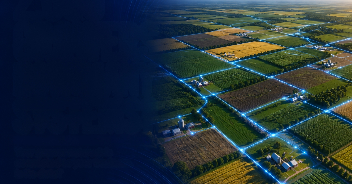
To support continued soybean exports into Europe, a Canadian grain company needed a scalable way to verify field-level soybean production across a vast supply shed.
The Requirement
A geospatial intelligence foundation capable of identifying soybean production accurately and consistently across millions of acres.
Learn more about the EU Deforestation Regulation (EUDR) from the European Commission.
~185M
Acres Analyzed Annually
Across Manitoba, Ontario and Quebec, the program analyzes approximately 185 million acres annually to identify soybean production at field level.
A scalable field-level data foundation for EUDR compliance
Corvian established the field-level data foundation and scalable workflow to generate validated production records for enterprise-grade traceability.
The resulting dataset provided the grain company with a validated record for downstream compliance and future EUDR reporting.
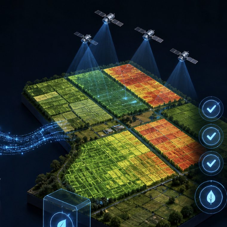
From satellite imagery to compliance-grade records
The workflow generates validated production records for enterprise-grade traceability.
Analyze Satellite Imagery
Acquires & analyzes satellite imagery across monitored regions to identify crop activity.
Identify Soybean Production
Identifies soybean production using proprietary crop-classification models.
Standardize Field Boundaries
Delineates standardized field boundaries into consistent geospatial records.
Generate GIS-Ready Records
Generates GIS-ready production records for enterprise systems and reporting.
Validate Compliance Datasets
Validates and delivers confidence-scored datasets for traceability and compliance.
Soybean acres identified at field level
Approximately 185 million acres are analyzed annually across Manitoba, Ontario and Quebec. Together, these regions represent approximately 3.5 million identified soybean acres.
| Province | Total Acres | Soybean Acres |
|---|---|---|
| MB | ~60M | ~1.51M |
| ON | ~60M | ~1.14M |
| Quebec | ~65M | ~0.85M |
| Total | ~185M | ~3.5M |
A repeatable foundation for field-level soybean traceability
Verified 3.5M acres of soybean production
Built a data foundation & repeatable program
Established compliance-grade datasets for EUDR
One Data Foundation. Multiple Agricultural Use Cases.
The geospatial intelligence created for EUDR establishes a long-term data foundation that can also support sustainability reporting, supply chain transparency, risk management, and future enterprise agricultural initiatives.
Explore Corvian's agricultural data capabilities
One Data Foundation
Explore how field-level agricultural data supports multiple enterprise initiatives.
More Case Studies
Explore additional agricultural intelligence, risk and sustainability programs.
About Corvian
Learn more about Corvian's agricultural data and enterprise capabilities.
